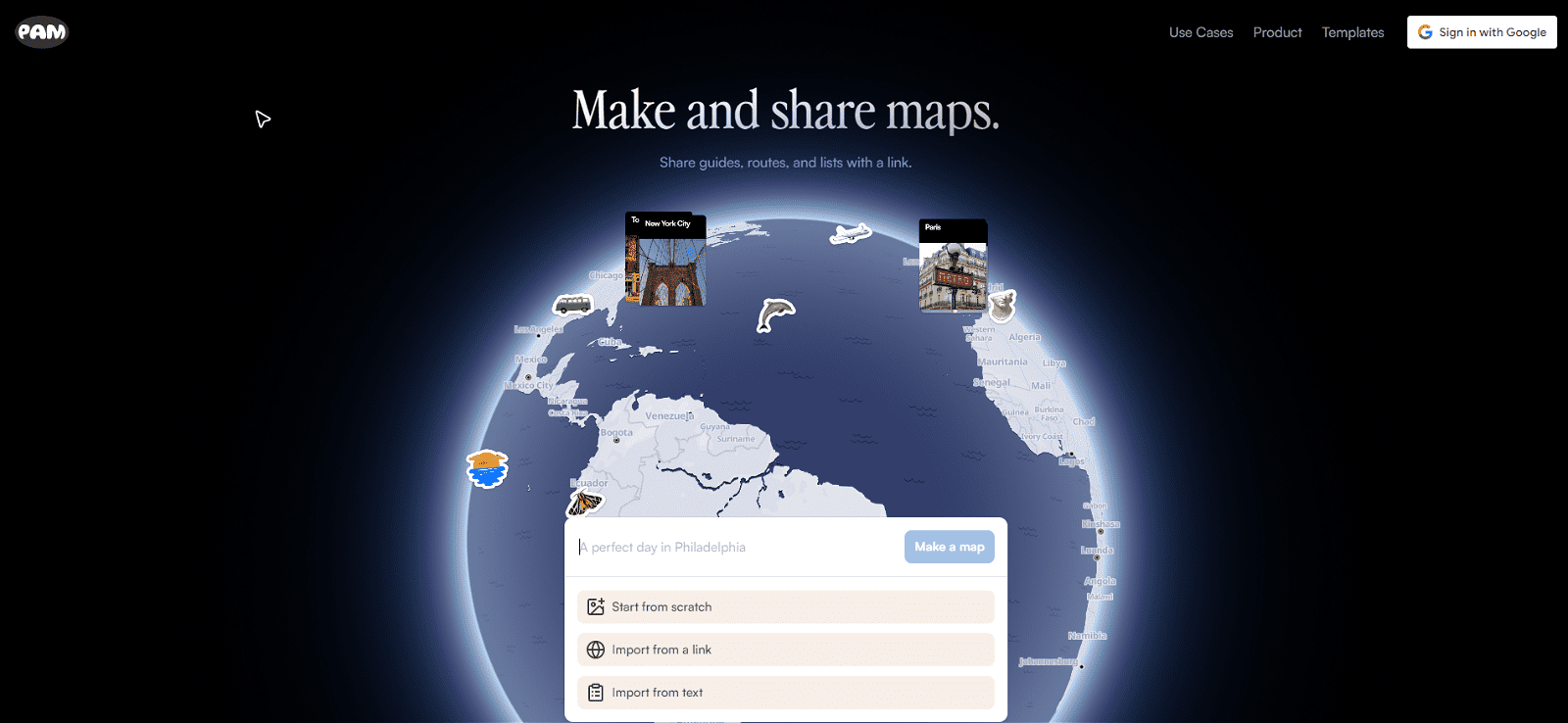
PamPam is an innovative tool that facilitates the creation of interactive maps, leveraging the capabilities of artificial intelligence. This platform is designed to provide an easier and more intuitive way for users to explore geographical data through interactive maps.
Users can add points or areas of interest to their maps, annotate them with descriptions, and enrich the data with various details. Thus, the tool aims to provide a comprehensive and in-depth exploration of geographical regions, whether for educational, research, or recreational purposes.
It comes with user-friendly features that allow users to navigate easily across their maps and explore different aspects of the geographical data. The utilization of AI adds a layer of sophistication to the tool, making the exploration of geographical data a more engaging and insightful process.
More details about PamPam
Can PamPam create versatile interactive maps?
Yes, PamPam can create versatile interactive maps. The tool allows users to customise their maps by adding points or areas of interest, enabling a more tailored and meaningful exploration of geographical data.
What is unique about PamPam’s map creation process?
What’s unique about PamPam’s map creation process is its use of artificial intelligence and its highly interactive feature set. These factors provide a more engaging and meaningful exploration, rather than just accessing the geographical data.
How does PamPam use AI to create maps?
PamPam uses artificial intelligence to provide meaningful and intelligent insights that assist in understanding geographical data. The AI capabilities of PamPam enhance the tool’s interactive functionality, taking the exploration of geographical data to a more engaging and insightful level.
Can I personalize my PamPam maps?
Yes, you can personalize your maps on PamPam. You can add points or areas of interest to the map, annotate them with descriptions, and enrich the data with various details.