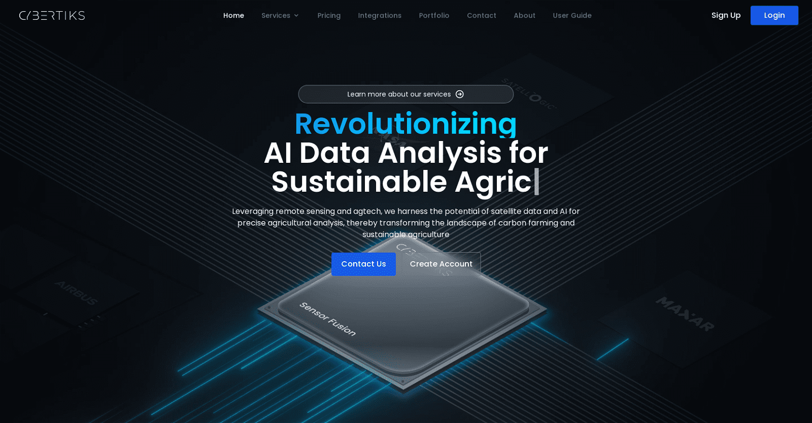
Cybertiks harnesses the power of satellite and drone imagery, along with AI technology, to provide precise agricultural analysis and remote sensing solutions. It can detect plant growth, assess water availability, nutrients, soil quality, erosion, pollution, and plague levels—all through satellite imagery. Moreover, it can monitor human activity and detect oil spills and leakages using satellite radars.
Beyond agriculture, Cybertiks extends its capabilities to evaluate progress, monitor waste deposits, and model land topography for large-scale construction or infrastructure projects. Users can remotely analyze any field worldwide and obtain essential metrics efficiently.
Using AI, Cybertiks correlates large datasets, generates customized reports, and delivers necessary information promptly. It integrates multiple data sources and formats seamlessly to tailor solutions for each client’s specific needs.
Cybertiks utilizes thermodynamic information from electromagnetic sensors to classify and quantify natural resources, elements, and minerals. With its expertise in frontend and backend architectures, the tool develops custom SaaS solutions to address client requirements effectively.
More details about Cybertiks
Can Cybertiks analyze any field in the world remotely?
Absolutely, Cybertiks is equipped to remotely analyze any field worldwide. Leveraging satellite and drone data, it conducts thorough analysis to provide precise insights and valuable metrics to users, regardless of the location of the field.
What is Cybertiks SaaS offer?
Cybertiks specializes in developing custom SaaS solutions, drawing upon its proficiency in both frontend and backend architectures and implementations. These tailored software solutions are designed to address the unique needs and challenges of clients, integrating Cybertiks’ expertise in AI and remote sensing technology to deliver optimal results.
What industries does Cybertiks serve?
Cybertiks extends its services across various industries, encompassing agriculture, mining, oil and gas, construction, and more. Its solutions are tailored to enterprises seeking to leverage geospatial analysis and AI for industrial applications, offering valuable insights and optimizations for diverse business needs.
What is unique about Cybertiks’ approach?
What distinguishes Cybertiks is its adept utilization of satellite and drone imagery, coupled with AI analysis of extensive datasets. This enables the delivery of highly precise and accurate insights. Moreover, Cybertiks excels in crafting bespoke solutions that cater to a wide array of industries, prioritizing sustainable practices throughout its offerings.