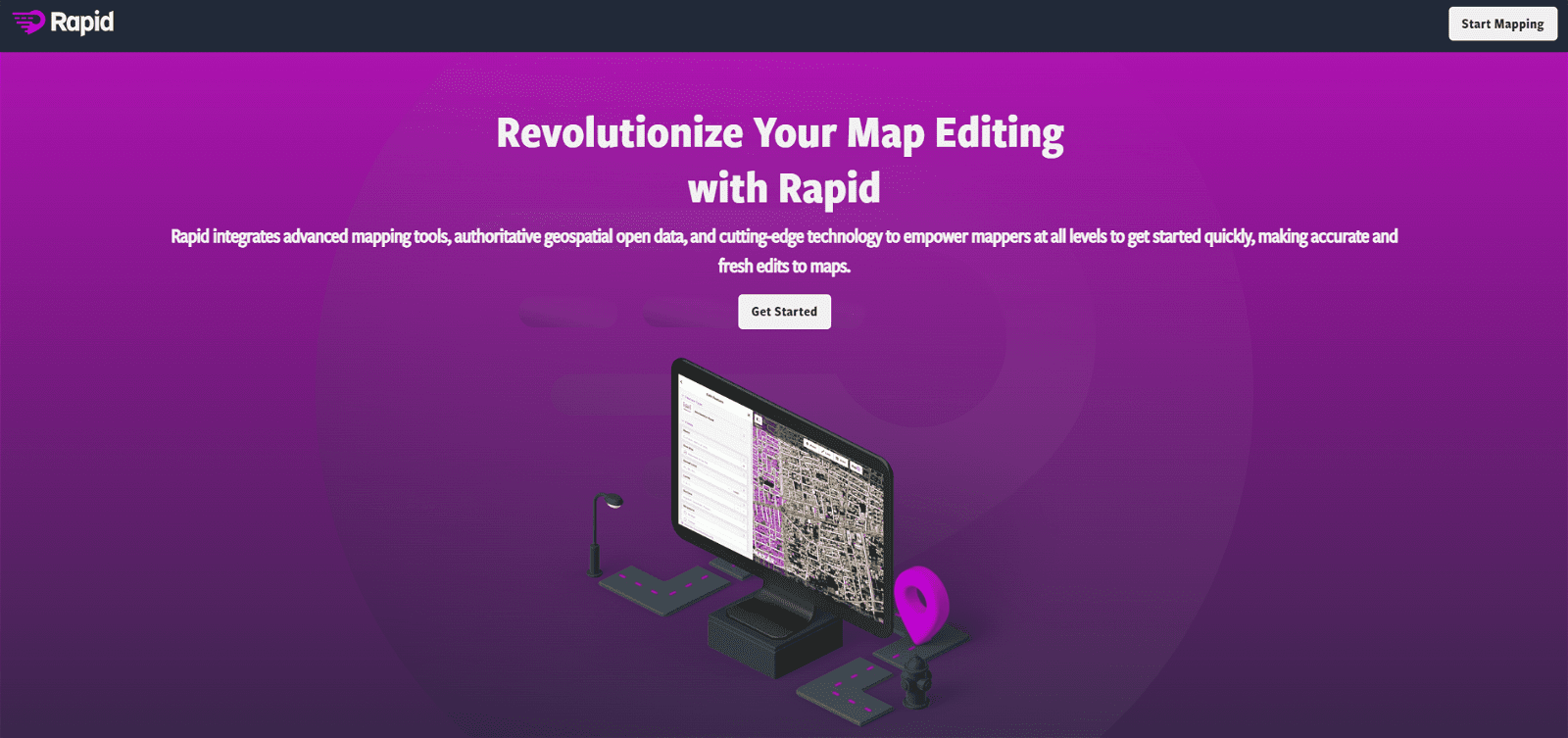
Mapwith.ai is an AI-powered mapping tool that combines OpenStreetMap and artificial intelligence (AI) to create a faster and more accurate mapping experience. AI is used to predict features from high-resolution satellite imagery, which are then populated in the RapiD map editing tool. With this tool, users can quickly and easily map roads and other features from satellite imagery.
AI-assisted road hovering and tag-cycling allow for a more efficient mapping experience. The RapiD editor also has built-in integrity checks to ensure quality assurance on newly added and modified roads. Mapwith.ai has been used in various humanitarian efforts around the world, such as the Kerala disaster response in India and training workshops in Thailand and Tanzania. With its combination of AI and OpenStreetMap, Mapwith.ai is an invaluable tool for mapping the world.
More details about Mapwith.ai
How does Mapwith.ai use OpenStreetMap?
Mapwith.ai uses OpenStreetMap by integrating it with artificial intelligence. It populates features predicted from high-resolution satellite imagery into the OpenStreetMap via its RapiD editor, creating a faster and accurate mapping experience.
How has Mapwith.ai been used in disaster response?
Mapwith.ai has been used in disaster responses, notably during the severe flooding event in Kerala, India in 2018. The local OpenStreetMap community partnered with Mapwith.ai to map missing roads in the affected areas, efficiently aiding in the response.
Is Mapwith.ai linked to any social cause or community service?
Yes, Mapwith.ai is associated with social causes and community service. It has been used in various global-scale humanitarian efforts to provide rapid and accurate mapping. Notably, it was used in disaster response efforts in Kerala, India and provided training workshops in Thailand and Tanzania.
Can Mapwith.ai convert pixels of satellite map data into predicted features?
Yes, Mapwith.ai has the capability to convert pixels of satellite map data into predicted features. This is accomplished by leveraging artificial intelligence, which identifies and predicts features like roads from satellite images.