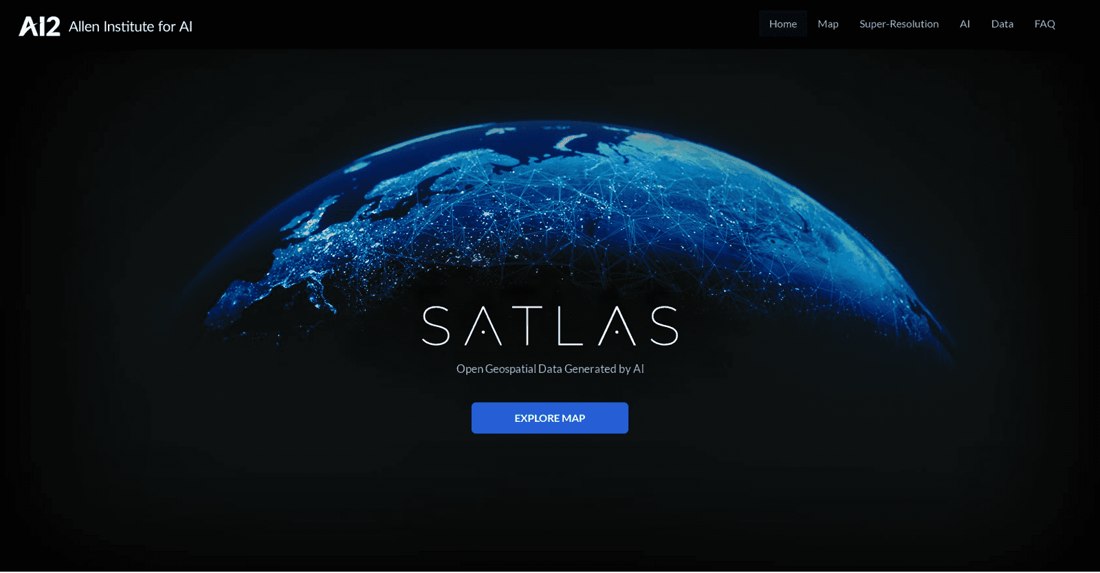
Satlas, an AI tool developed by AI2 (Allen Institute for AI), offers users a unique opportunity to delve into and analyze the evolving landscape of Earth through AI-annotated satellite imagery.
This innovative tool harnesses monthly geospatial data to unveil transformations across diverse domains such as marine infrastructure, renewable energy installations, and changes in tree cover. Users can witness specific examples, including offshore wind farms in China and Denmark, deforestation in the Amazon Rainforest, logging activities in Washington State, and wind farms in Scotland.
A standout feature of Satlas is its Super-Resolution capability, where advanced AI models enhance low-resolution satellite images, providing users with high-resolution visuals on a global scale. This enhancement allows for clearer visualization of intricate details within specific locations.
Powered by cutting-edge architectures and training algorithms, Satlas leverages the extensive SatlasPretrain dataset, comprising over 30 TB of imagery and 300 million labels. This vast dataset ensures robust performance and accuracy in the AI models employed by Satlas.
Moreover, Satlas offers freely accessible AI-generated geospatial datasets that users can download for offline analysis. Additionally, it releases AI models and training labels to facilitate further research and development in the field.
Led by a dedicated team at the Allen Institute for AI, Satlas aims to push the boundaries of computer vision capabilities, creating AI systems capable of understanding and reasoning about our dynamic world.
In summary, Satlas stands as a potent tool for exploring and comprehending the transformations occurring on Earth through AI-annotated satellite imagery, providing invaluable insights into the evolution of our planet.


